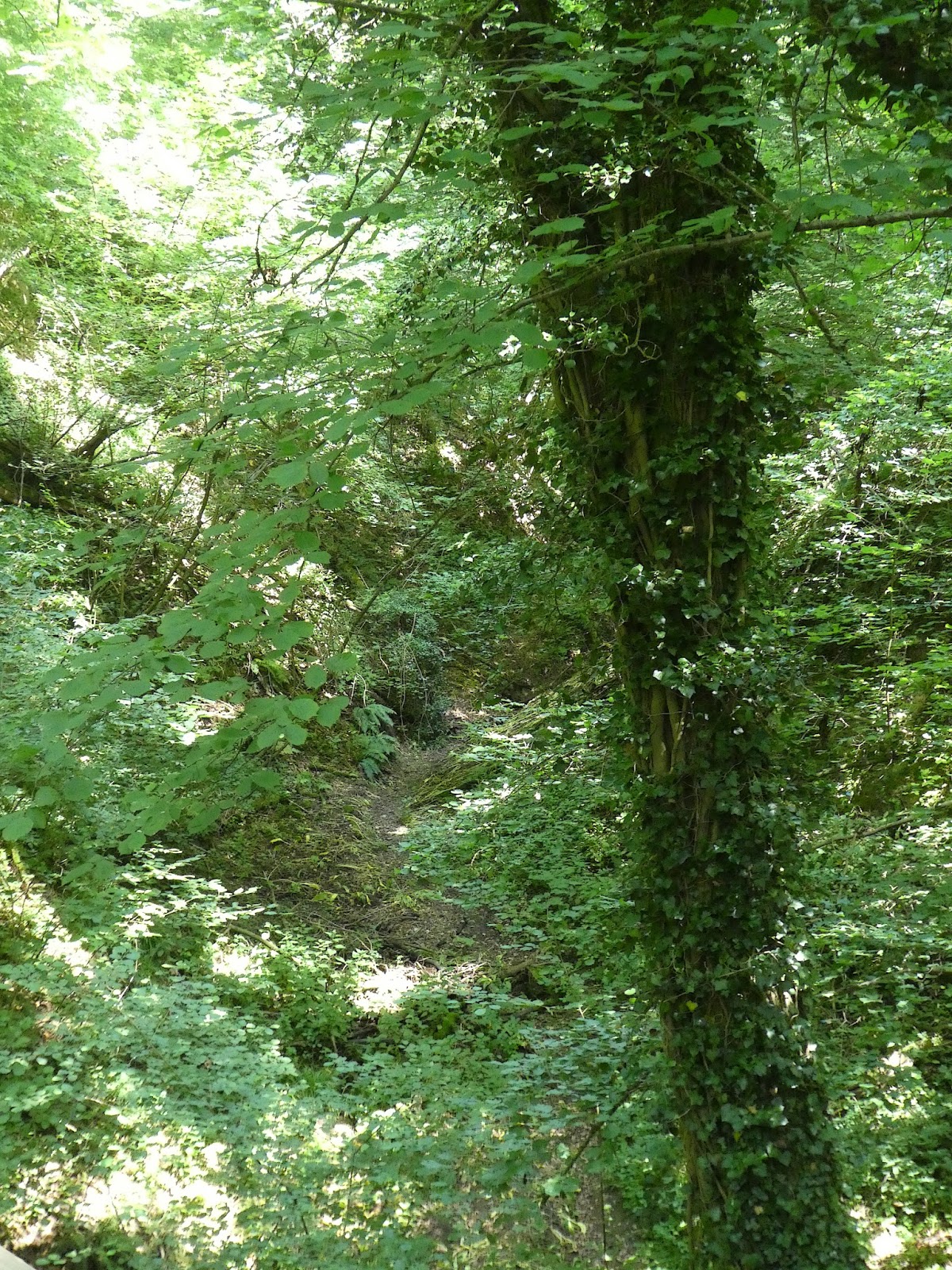
The Savelsbos (Limburgish: Savelsbösj) is a 6 km long, often narrow belt of slope forests on the (often steep) Eastern Meuse valley slope, Eastern and South East of Maastricht and located between the villages of Cadier en Keer, Gronsveld, Eckelrade, Sint Geertruid, Moerslag and Rijckholt. The surface is approximately 240 ha. The forest has very steep, often erosive slopes with height intervals of 70 m to 125 m. The soil consists of chalk, loess and gravel layers.
The Savelsbos is subdivided into the Eijsderbos, the Rijckholterbos, Riesenberg and the actual Savelsbos
click pic to enlarge
 |
| valeriaan - valerian |
 |
| ruig klokje - nettle-leaved bellflower |
 |
| gestreepte goudspanner op grote brandnetel - yellow shell on stinging nettle |
 |
| klimop en braam - ivy and blackberry |
 |
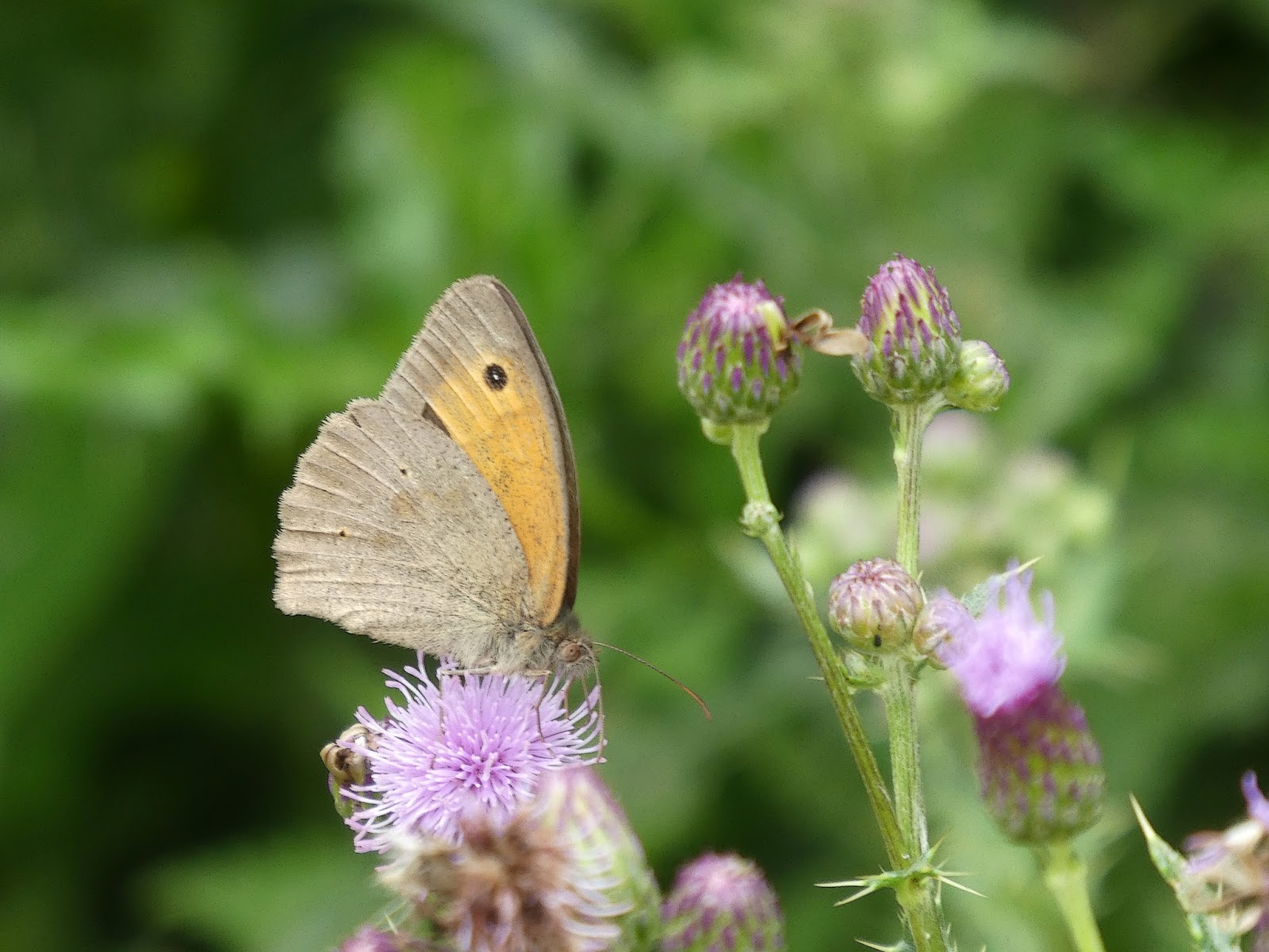
| bruin zandoogje op akkerdistel - meadow brown on field thistle |
 |
| koevinkje op valeriaan - ringlet on valerian |
 |
| rode wegslak - red slug |
 |
| atalanta - red admiral |
 |
| Gronsveld |
 |
| atalanta - red admiral |
 |
| stalkaars - denseflower mullein |
 |
| blauwe reiger - grey heron |
 |
| Gronsveld |
 |
| grote klis - greater burdock |
 |
| Gronsveld |
 |
| gehakkelde aurelia - comma |
 |
| op hondenstront - on dog shit |
 |
| in the background: Mt St Peter |
 |
| ruig klokje - nettle-leaved bellflower |
 |
| ree - roe deer |
 |
| background: Mt St Peter and ENCI marl mine |
 |
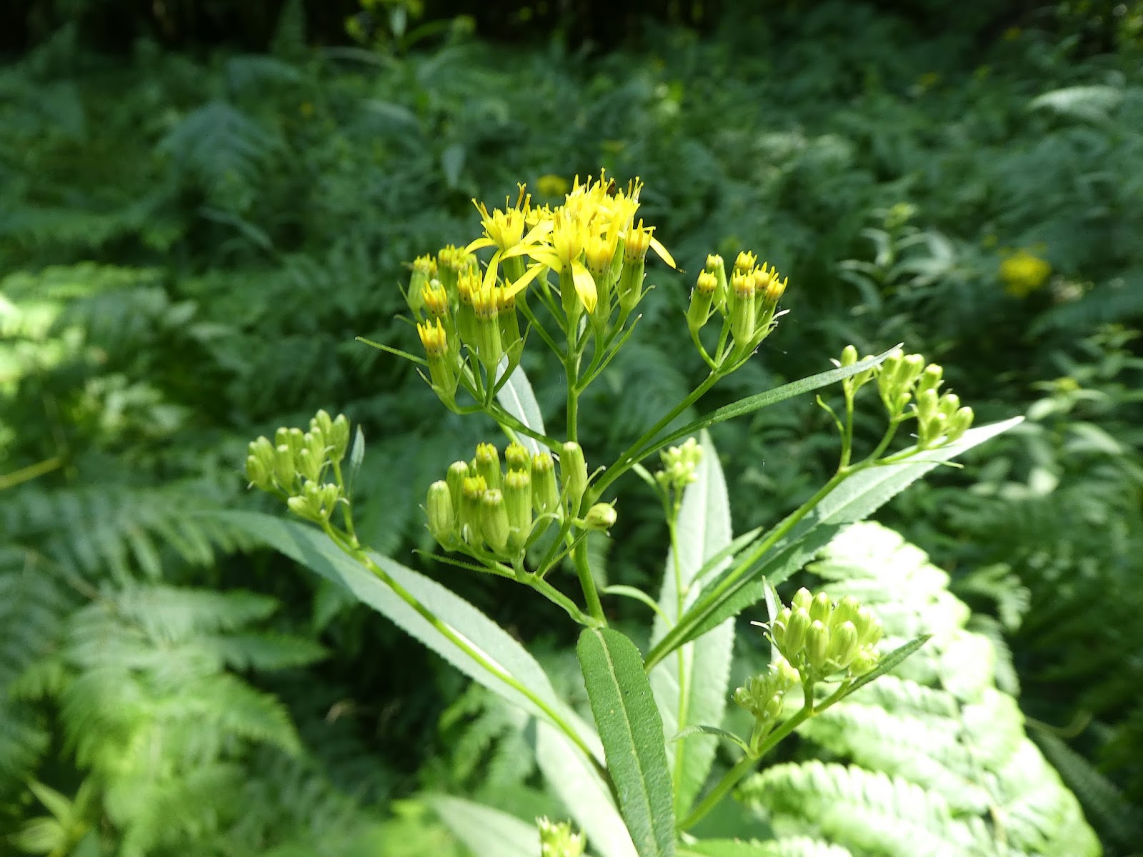
| rivierkruiskruid - senecio |
 |
| valeriaan - valerian |
 |
| aardhommel en klein koolwitje op kruiskruid - buff-tailed bumblebee and small white on senecio |
 |
| gehakkelde aurelia op braam - comma on blackberry |
 |
| Mt St Peter and ENCI marl mine |


Geen opmerkingen:
Een reactie posten